Important information at a glance

Entlang der Urschlauer Ache
Winter hikingDiscover the surroundings of Ruhpolding
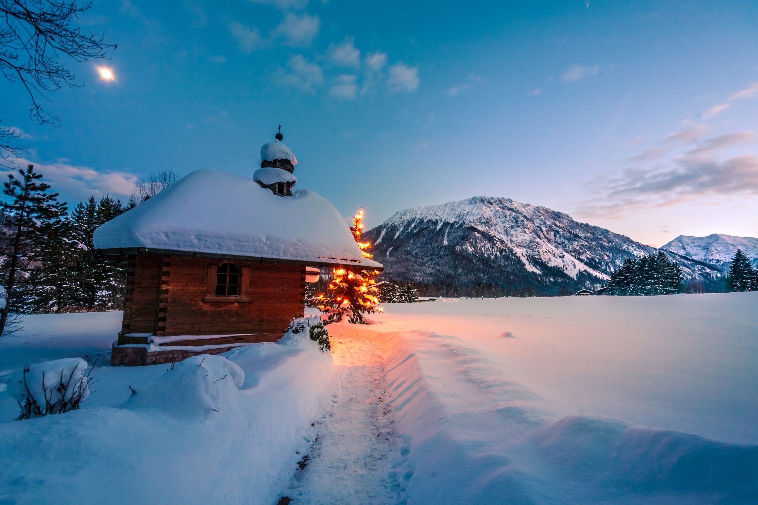
Egglbrücke - Schützenkapelle - Sagenweg - Mühlbauernkapelle - Windbag Countess - Toni-Stengel-Weg - Roundabout - Egglbrücke
Important information at a glance

Discover the surroundings of Ruhpolding
Egglbrücke - Schützenkapelle - Sagenweg - Mühlbauernkapelle - Windbag Countess - Toni-Stengel-Weg - Roundabout - Egglbrücke
Tour description:
The winter hiking trail starts at the Egglbrücke, from there follow the Sagenweg (No. 83) to the Mühlbauern chapel in the Wasen district. Be sure to stop off at the Windtüten Gräfin and try one of the legendary cream puffs! Cross Branderstraße and continue on Toni-Stengel-Weg (No. 82) over the traffic lights to the indoor tennis courts and back to the starting point.
Ruhpolding. Starting point Egglbrücke (at Penny Markt, Zeller Str. 26)
With the regional train from Traunstein to Ruhpolding.
In Ruhpolding with the Dorfline or the RVO bus (Regionalverkehr Oberbayern).